

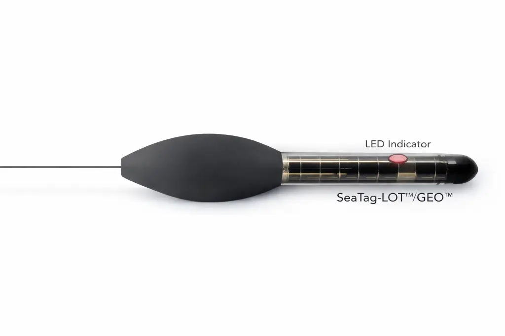


Seatag GEO
The SeaTag-GEO is a pop-up satellite archival tag (PSAT) designed for high-precision migratory tracking to produce more accurate horizontal tracks than light-only geolocation. It shares the same compact form factor as the SeaTag-LOT and supports both archival pop-up deployments and real-time tracking with daily summaries, offering flexibility for a wide range of study designs.
Key Specifications:
- Dimensions: 178 mm length × 14.6 mm tube diameter
- Tracking method: Geomagnetic positioning using 3-axis magnetometer + light + temperature
- Operating modes:
- Pop-up archival (programmable release, up to 1 year)
- Real-time tracking with daily summaries (unlimited deployment duration)
- Power: Solar with energy storage; optional internal battery supports operation in darkness for >1 year
- Sensors:
- 3-axis magnetometer (60 nT resolution)
- Solar panel/light sensor
- Temperature sensor (0.002 °C resolution)
- RF surface detection (for Argos transmission timing)
- Precision clock
- Memory: FLASH storage for 416 daily summaries