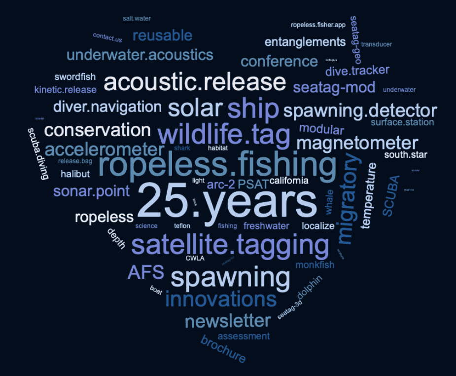
25 Years of Marine Technology for Science, Exploration, and Defense
Explore What We Can Do..
.jpg)
Acoustic Release
Remotely retrieve underwater gear anytime with high reliability and decades of tested performance. With two commercial models available, utilize efficient and fast-acting release control from the surface.
ARC-1XD™ - Ranging Acoustic Release
ARC-2™ - Low Cost Acoustic Release
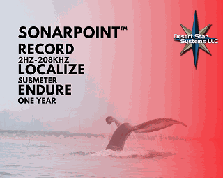
SonarPoint™ PAM Acoustic Recorders
The third generation of Desert Star Systems Passive Underwater Acoustics Monitoring Recorders. Now available with GPS for atomic clock synchronization, the SonarPoint features flexible storage, long run-time, easy to service components and an affordable price.
SeaTag™
Wildlife Satellite Tags
SeaTag™ is about enabling innovative research at a favorable cost to support studies at a realistic scale. Solar panals, reusability, & independantly measured data-points yield scientific results that are supported by a robust sample size. New with Spawning Detection!
Positioning Systems
SouthStar™ is our next-generation underwater positioning system, combining industry-leading precision and robust survey eith ease of use and a compact configuration. Great for target tracking, wireless or wired systems. SouthStar is designed to be customized to meet the needs of many applications.
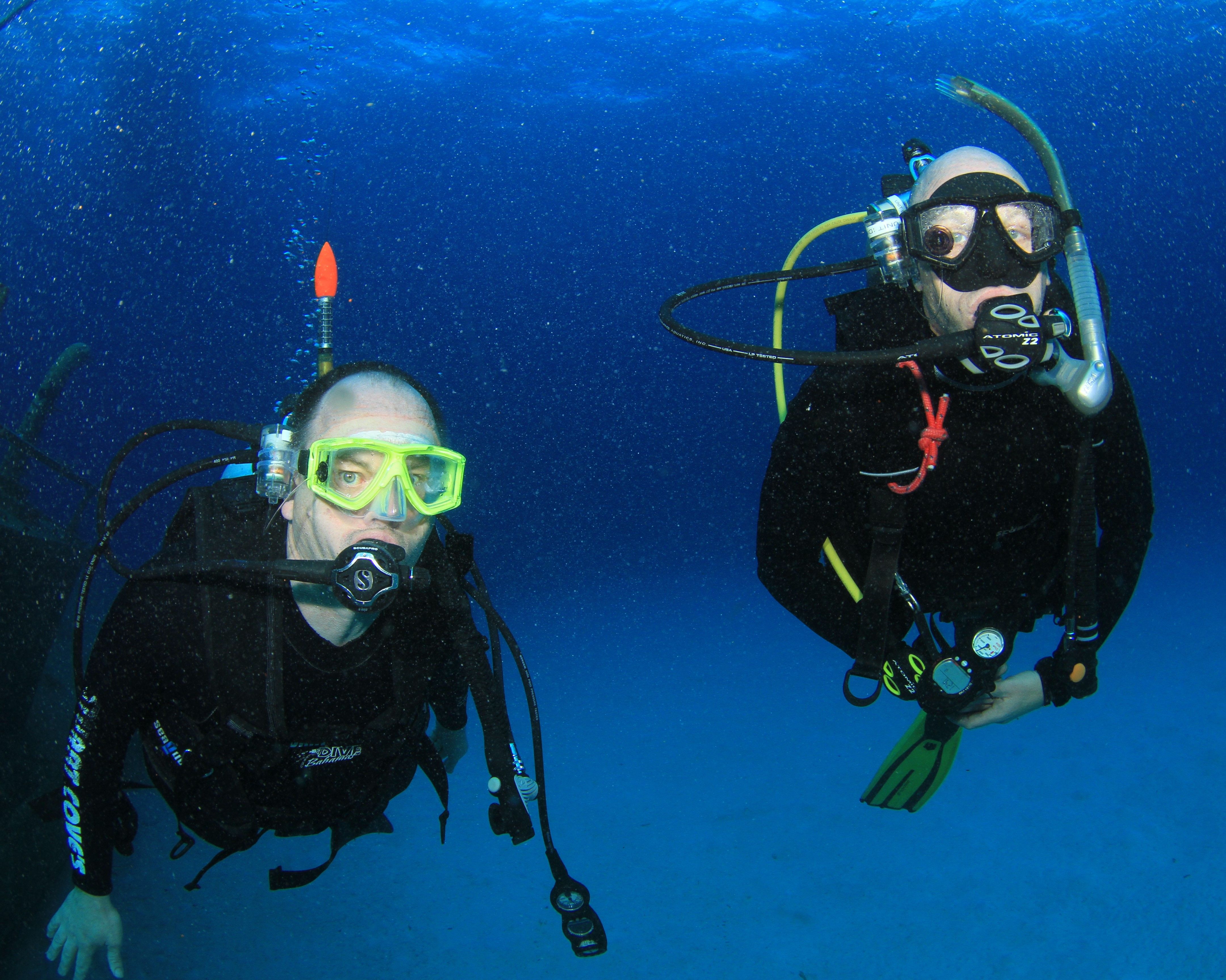
Diver Air Pressure Alert
Air Pressure Alert System (APA) is an unobtrusive heads-up system specifically optimized to guard against low and out-of-air emergencies to prevent diving accidents.
The APA system is perfect for recreational divers to keep a close watch on your dive partner's air aupply as well as your own, or perfect for commerical divers who are focused on multi-tasking work underwater.
.jpg)
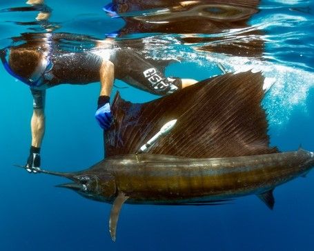
Ropeless Fishing
A Complete Ropeless Fishing System used commercially since 2012 with thousands of successful deployments. Featuring a robust, yet adaptable and reliable design for every fisher around the globe. Put your trust in a ropeless fishing system that is proven to increase your profits and decrease gear loss.
Featuring Two Systems designed for near coastal or off-shore fishing environments.
.jpg)
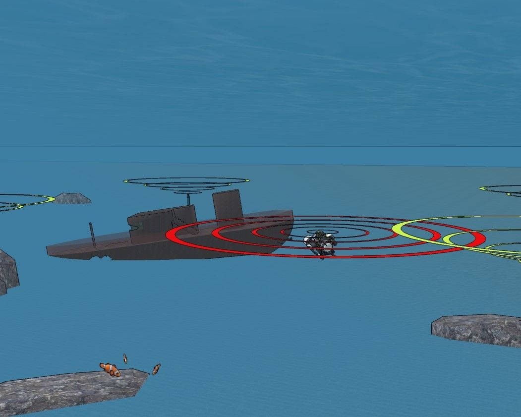
DiveTracker™ Diver Navigation
The world's most reliable underwater diver navigation tool. A DiveTracker Set includes two units; a receiver and a transmitter.
Available in two models:
DiveTracker Sport™
DiveTracker Scout™
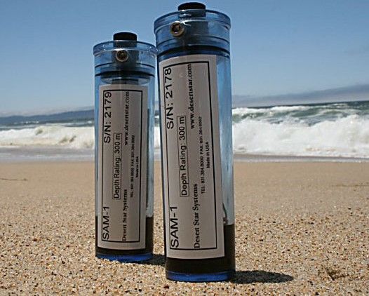
Acoustic Modems
The SAM-1™ acoustic modem is ideal for underwater data transmission at low to moderate speeds and distances up to 1000m. In contrast to high-speed acoustic modems, the SAM devices are much smaller, consume less power, are inexpensive, and work well in noisy environments.
Specialized Projects & Legacy Products
Contact us for consultation regarding specialized projects or availability of legacy products that are no longer in active production.
FrogEye™ NetTrack™ RangeNav™
SharkEye™ MicroMars™ AquaMap™
Who We Are...